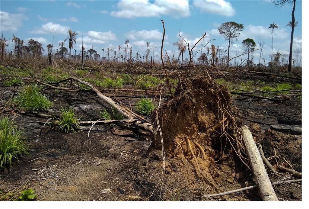
Deforestation alerts in Brazilian Amazon show worst record
The Real-Time Deforestation Detection System (Deter), which warns about changes in forest cover for areas greater than three hectares (0.03 km²) on a daily basis, issued the alert, which is declared for totally deforested areas as well as for those in degradation process (logging, mining, burning and others).
The Deter does not provide official deforestation data, but it alerts us about where problems are occurring.
The official measurement, carried out by the Prodes system, usually exceeds the alerts indicated by Deter.
Pará was the state with the largest area under deforestation alert (435 km²), followed by Mato Grosso (150), Amazonas (142) and Rondônia (69), Acre (64), Roraima (24), Maranhão (18) and Amapá (two).
The historic record for INPE alerts was reported this year, although data from the last two months (November and December) are missing.
Between January and October, the reported accumulation covered 9,494 km².
(Taken from Prensa Latina)